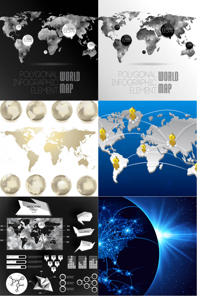
Colored world maps vector
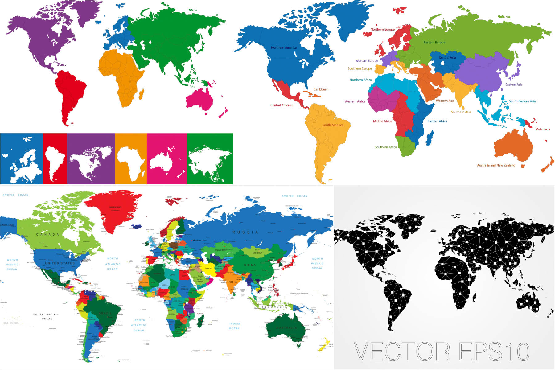
Colored world maps with all existing countries of the world, broken down by zones like Northern America, South America, Central America, Caribbean, Northern Western Southern Eastern Central Europe, Africa, Asia; Australia and New Zealand, Melanesia; black world map with white dots interconnected for your infographics, background and illustration. In archive 4 files with colored world maps. File in .eps (or .ai) format, size 2.11MB, created by using vector graphics for Adobe Illustrator CS or CorelDRAW with free download. Ready for print. License: for personal use only.
(Visited 1 times, 1 visits today)